Friday April 19
Pleasant Spring afternoons ahead, along with cool showers in between. Refill time.
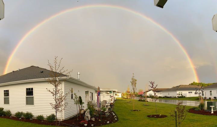
Warmest day of the week today in many locations, with a comfortable breeze. A quick moving cold front will clip the NW corner of the PNW, ushering in clouds and showers & strong westerly winds up the Columbia Gorge late Sat through early Sunday. Most of the showers should be north of Longview. By Sunday afternoon, the sky should begin to clear, setting up a pleasant start to the new week around the PNW.
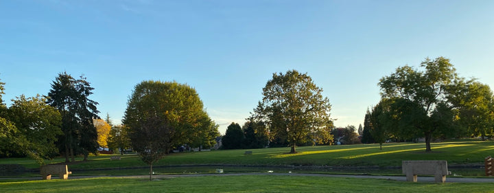
Monday & Tue, Apr 22 & 23 will be pleasantly warmer & dry. Wed will bring a return to cool, damp weather late day through Thu. This cold front will bring in more moisture than Saturday’s system, and over a larger area. However, sunshine and somewhat warmer temps will return to end the week, and start the weekend of Apr 27,28. By Sat night, another shot of cold air (for late April) arrives to usher in a chilly, damp Sunday.
The final days of April (Mon & Tue) will be rather cool, but generally dry. The first 5 days of May are trending dry and notably warmer. In fact, if models verify, temps around the PNW could rebound into the mid-to-upper 70s Thu & Fri May 4,5. It may turn damp in CA at the same time.
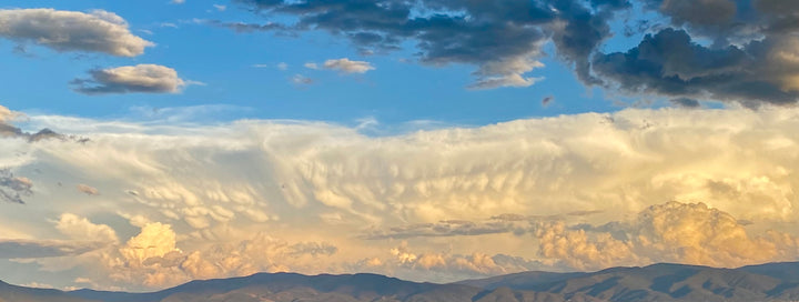
As you can tell, a “Bits of Both” weather pattern is charting for the next couple of weeks. Meaning, pleasantly mild weather along with cool, damp weather scattered in between. Quite the norm for this time of year.
“The poorest person in the world is the person who has nothing but money."
-Rufus
Copyright © 1994-2024 - All Rights Reserved - The Weather Café ®