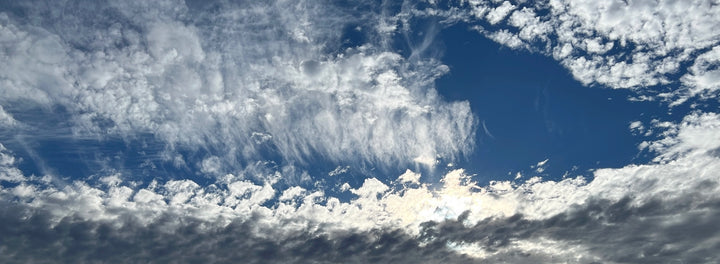
Monday April 22 - Earth Day
Please allow a moment of reflection - - -
- The first Earth Day was ‘declared’ on this day in 1970. Spawned by the oil spill off the Santa Barbara coast and pollution from heavy industry around the world, the call for elevating awareness of negative environmental impacts by careless management of Earth’s air, water and land was the focus of Earth Day. Agreed, there are extreme points of view / approaches per this topic, but globally, folks of all persuasions & occupations began working together to make vast improvements in protecting key aspects of Earth’s environment. Your host, living in the Pierpont beach community of Ventura CA at that time, clearly recalls oil globs stuck on surfboards and feet (sea animals, too) following the 1969 California oil spill. Finally, Oregon's Willamette River got cleaned up, as did many other bodies of water, including Lake Erie; so did the excessively smoggy Los Angeles basin. Enough already.
Excellent Spring wx to start this week, before the PNW will return to cool, damp conditions for a few days. Afternoon temps are likely to top the upper 60s to mid-70s at some point between now and Wed. A cold front will begin to move into the region later on Wed, so expect clouds to increase, temps to drop and at least a quarter of an inch of rain by late Fri.
Partly cloudy, with temps a few degrees warmer this Sat, before the next round of precip begins to move onshore, north-to-south, on Sunday. It does, indeed, look damp over most of OR, WA, BC (both west & east sides) Mon & Tue next week week. Idaho, too. Calif should remain dry. By Wed, conditions will slowly improve ushering in 3-4 day stretch of dry, mild weather to get the month of May started.
Saturday May 4 is currently trending very nice! Temperatures rebounding into the 70s for nearly everyone, north or south, as a large Low moves south off the coast towards California. Said Low will also spin a warm ‘rain band’ into OR & WA sometime This type of pattern often produces warm afternoons, with humidity a bit higher than usual. Sunday - Cinco de Mayo - should present increasing clouds with a chance for rain or showers, although temps will remain warm.
For the week of May 6 - 10, model projections bring in plenty of rain, with an elevated chance for thunderstorms moving from south-to-north, as the Low mentioned above pushes into CA, spinning moisture across much of the Golden State, along with the PNW (both sides of the Cascades). We project drier, mild weather to begin on Thu May 9, lasting into the following weekend. For now.
“To error is human; to forget, routine."
-Rufus
Copyright © 1994-2024 - All Rights Reserved - The Weather Café ®

